 Hardware Ready Ready to Bench?
simulating moving ice. ACCESS-NRI, the Australian national infrastructure dedicated to Earth system modeling, has released four components of a new ISSM-based workflow. The goal is to integrate a dynamic representation of ice sheets into the national climate platform to more accurately describe their influence on the ocean, atmosphere, and sea level rise.
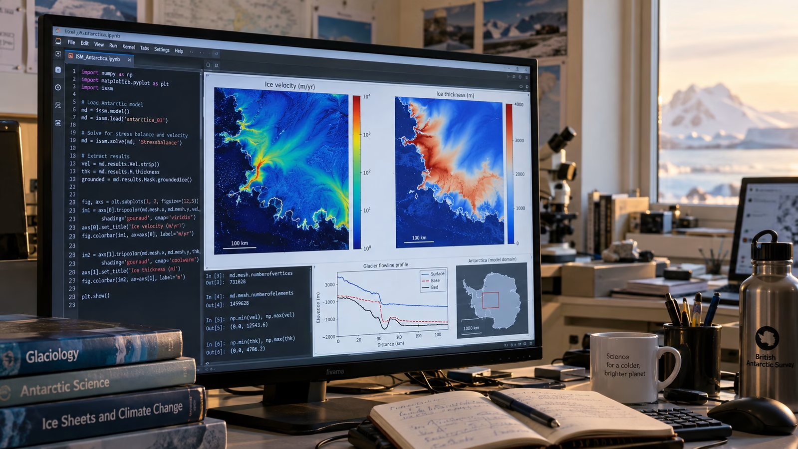
Until now, the ACCESS climate suite has approximated the effect of ice sheets using a static representation, while many simulations have focused on individual regions. A dynamic model instead allows for calculating feedback between ice, ocean, and atmosphere: freshwater released by melting modifies temperature, salinity, and marine circulation, while the ocean and atmosphere in turn condition the evolution of the ice.
simulating moving ice: why it matters
The Antarctic and Greenland ice sheets are among the primary factors determining sea level changes on timescales of centuries or more. Their reflective surface also intervenes in the solar radiation balance, while mass loss can propagate its effects through ocean currents and atmospheric circulation.
A static model does not account for feedback between ice, ocean, and atmosphere: integrating them will allow for better estimates of where and how much sea level will rise. The first component, ACCESS-ISSM, distributes a stable and reproducible version of the code to Australian researchers, avoiding fragmentation across different local installations.
The second tool, pyISSM, offers a Python interface to configure, run, and analyze simulations within the same computing environment. The project also includes the Cryosphere Community Data Pool, an open collection designed to share and identify data necessary for cryosphere modeling.
The Python package ccdtools then allows querying the collection, loading data, and using it directly in models, making the entire path from experiment setup to results more reproducible. The workflow has been optimized for Gadi, the supercomputer of Australia’s National Computational Infrastructure, so that different groups can use the same version of the model and the same datasets.
What changes and what are the effects
The release is in beta phase and does not by itself provide a new estimate on sea level rise, but prepares the necessary infrastructure to produce more complete projections. The team is already working on modeling regional sea level fingerprints, useful for translating ice loss into different variations along the planet’s coasts.
ACCESS-AIS3 is also in development, an extended community configuration covering the entire Antarctic ice sheet, intended for climate simulations on scales ranging from decades to centuries.
Source and further reading on simulating moving ice: original article.
* Content created with the assistance of artificial intelligence systems.